Specialized service for laser scanning, drone inspection, and photogrammetric surveying
Specialized service for 3D surveying of complex environments related to architecture and engineering through laser scanning, drones, and photogrammetric surveying.
Market demands
This service aims to meet all demands related to the 3D digitization of real estate and movable property, as well as their subsequent analysis, thanks to a professional team that includes experts in architecture, construction, and surveying.
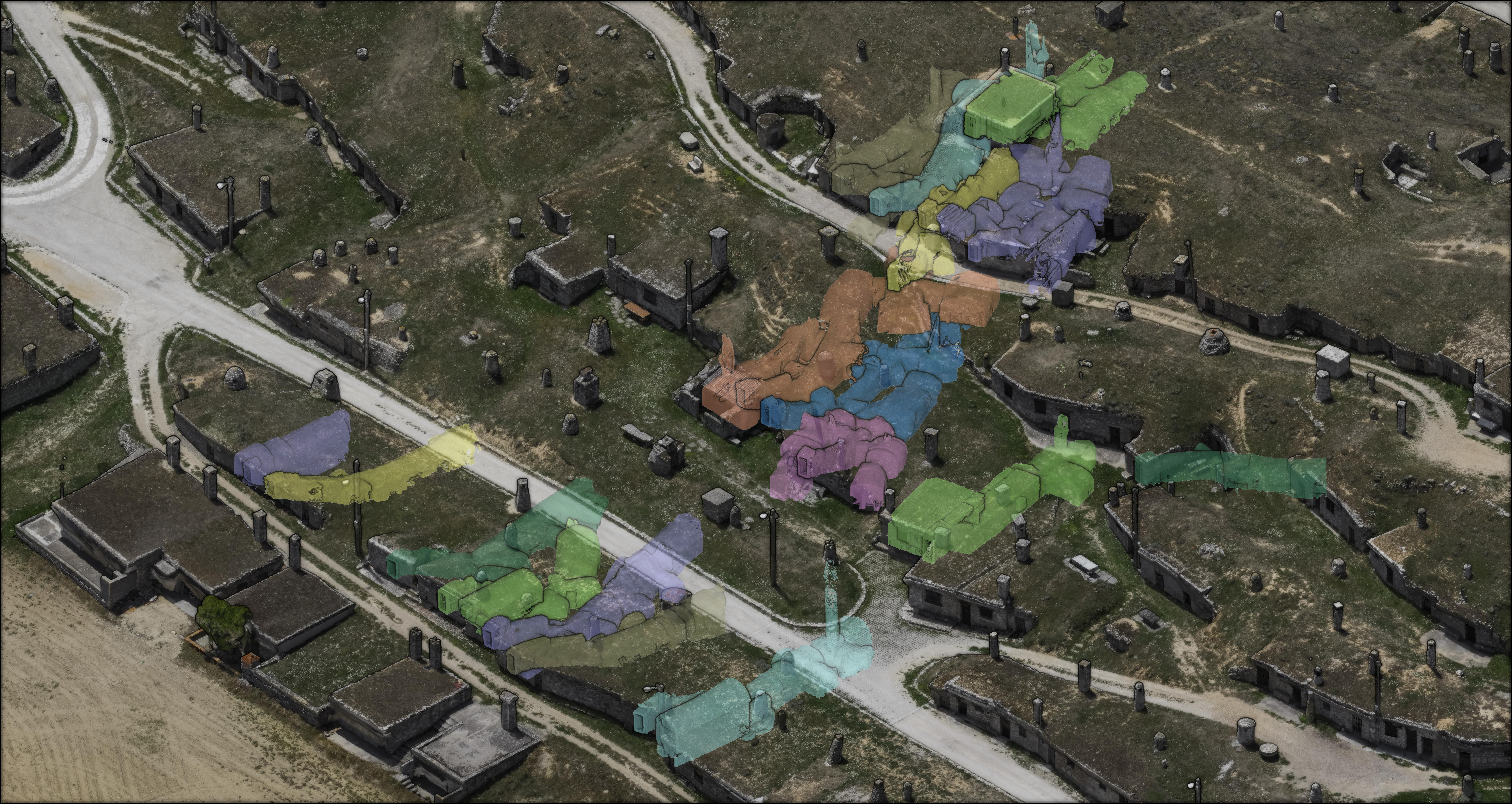
The offered products range from 3D point clouds and as-built documentation to the analysis derived from the captured data, including – among other things – deformation analysis of slabs, masonry, arches, vaults, construction monitoring, etc.
Field of application
All those related to architecture and engineering
Differential Advantage
This service is distinguished by two key features:
-
The high performance of the equipment used, which includes high-precision static laser scanning systems, topographic equipment (GPS, Total Station), and photogrammetry equipment (with high-resolution calibrated digital cameras and drones).
-
A multidisciplinary team with extensive experience and great commitment, consisting of PhDs in Architecture, Architects, Building Engineers, and Surveyors who perfectly understand the potential of 3D digitization and the specific needs for each moment, thus adapting the service to these purposes.
Examples of previous references
Equipment description
The service utilizes high-performance digitization equipment, including calibrated digital cameras, static laser scanners, and topographic equipment (GPS and Total Station).
How to apply
To request the service, please send an email to , describing the purpose of the service. This will allow us to send a personalized offer tailored to the specific needs of each project.


